Difference between revisions of "Te Puke O Tara - Visit"
| Line 21: | Line 21: | ||
{{#display_map: | {{#display_map: | ||
| − | -36.95097517300028, 174. | + | -36.95097517300028, 174.89~Te Puke O Tara; |
| height= 400px | | height= 400px | ||
Revision as of 13:37, 25 October 2017
Te Puke O Tara / Hampton Park
| SITE TO VISIT | |
|---|---|
| Te Puke O Tara / Hampton Park | |
| Hampton Park | |
| | |
 | |
| Ethnicity: | Maori / European |
| Site type: | Pa / Farm / Quarry |
| Where: | South Auckland - 30 minutes from the city centre |
| How to get there: | Bus (Check Rideline) or car. |
| How Long to allow: | 2 hrs walking over the site. |
| Disclaimer | |
Location:
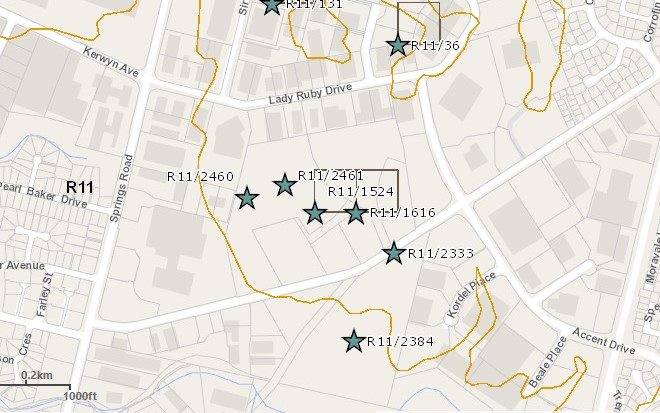
334 East Tamaki Rd. There is an off-road carpark.
What:
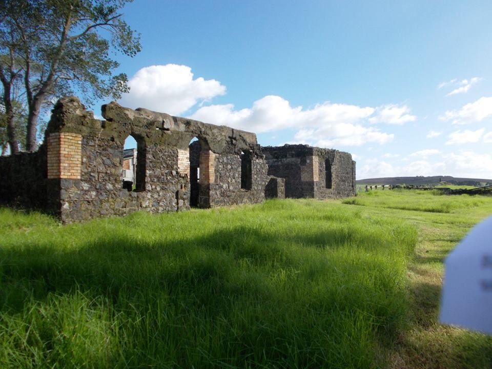
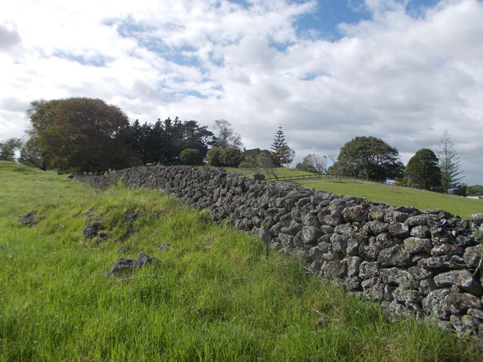
A one time small cone and pa site but there is only a little in the way of Maori archaeological remains. More prominent are the stone stables ruins and the many stone walls remaining from the early farm use.
The location was owned and farmed for many years by Rev Gideon Smales and his descendants. There are garden remains and some heritage trees from their time. The current house is on the location of the original, but that was lost in a fire.
Surviving in good if reconstructed order in the Park is St John's Chapel built by Smales using locally quarried stone and dating from 1859.
The site is leased for grazing so please respect the stock and the use of the site.
What else to do there:
Barry Curtis Park and Point View Reserve are pleasant nearby parks.
Web info:
Auckland Council http://www.aucklandcouncil.govt.nz/en/parksfacilities/premierparks/pages/hampton.aspx


