Difference between revisions of "Whakamuhu Excavation"
(→Whakamuhu Excavation) |
|||
| (8 intermediate revisions by the same user not shown) | |||
| Line 1: | Line 1: | ||
== Whakamuhu Excavation == | == Whakamuhu Excavation == | ||
| − | Whakamuku R11/357, is a pa that formerly stood on the highest point of the cliff to the east of St | + | Whakamuku R11/357, is a pa that formerly stood on the highest point of the cliff to the east of St Heliers Bay in Auckland. It is on the rim of the Glover Park volcanic crater. There are several different Maori names which may apply to the site. Whakamuhu is that used at the time of the excavation. |
| + | In 1982 it was the subject of rescue excavation undertaken by the Auckland office of the Historic Places Trust. | ||
<googlemap lat="-36.844839" lon="174.866649" zoom="17">-36.845414, 174.866885, Whakamuhu</googlemap> | <googlemap lat="-36.844839" lon="174.866649" zoom="17">-36.845414, 174.866885, Whakamuhu</googlemap> | ||
| Line 7: | Line 8: | ||
<table border="1" cellspacing="1" width="100%"> | <table border="1" cellspacing="1" width="100%"> | ||
<tr> | <tr> | ||
| − | <td width="33%"> [[Image:whakap1.jpg]] | + | <td width="33%"> [[Image:whakap1.jpg|thumb|Page 1]] |
</td> | </td> | ||
| − | <td width="33%"> [[Image:whakap2.jpg]] | + | <td width="33%"> [[Image:whakap2.jpg|thumb|Page 2]] |
| − | |||
</td> | </td> | ||
| − | <td width="33%"> [[Image:whakap3.jpg]] | + | <td width="33%"> [[Image:whakap3.jpg|thumb|Page 3]] |
| − | |||
</td> | </td> | ||
</tr> | </tr> | ||
<tr> | <tr> | ||
| − | <td width="33%">[[Image:whakap4.jpg]] | + | <td width="33%">[[Image:whakap4.jpg|thumb|Page 4]] |
| − | |||
</td> | </td> | ||
| − | <td width="33%">[[Image:whakap5.jpg]] | + | <td width="33%">[[Image:whakap5.jpg|thumb|Page 5]] |
| − | |||
</td> | </td> | ||
| − | <td width="33%">[[Image:whakap6.jpg]] | + | <td width="33%">[[Image:whakap6.jpg|thumb|Page 6]] |
| − | |||
</td> | </td> | ||
</tr> | </tr> | ||
| Line 37: | Line 33: | ||
[[Category:Auckland]] | [[Category:Auckland]] | ||
[[Category:AucklandVolcanicCones]] | [[Category:AucklandVolcanicCones]] | ||
| + | [[Category:Excavations]] | ||
| + | [[Category:NZHPT Auckland Brochures]] | ||
| + | [[Category:Pa]] | ||
| + | [[Category:1982]] | ||
Latest revision as of 15:41, 30 April 2010
Whakamuhu Excavation
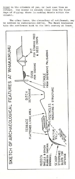
Whakamuku R11/357, is a pa that formerly stood on the highest point of the cliff to the east of St Heliers Bay in Auckland. It is on the rim of the Glover Park volcanic crater. There are several different Maori names which may apply to the site. Whakamuhu is that used at the time of the excavation.
In 1982 it was the subject of rescue excavation undertaken by the Auckland office of the Historic Places Trust. <googlemap lat="-36.844839" lon="174.866649" zoom="17">-36.845414, 174.866885, Whakamuhu</googlemap>
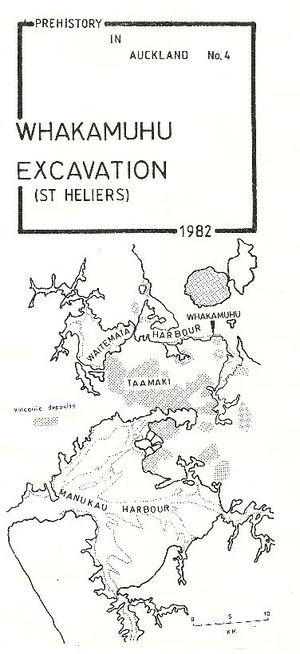
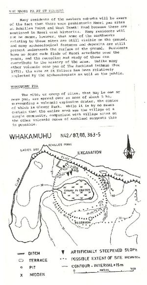
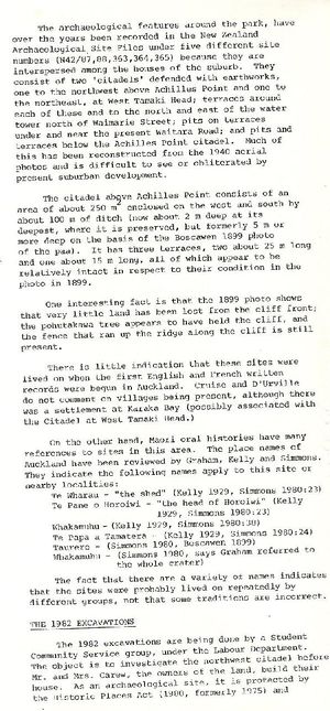
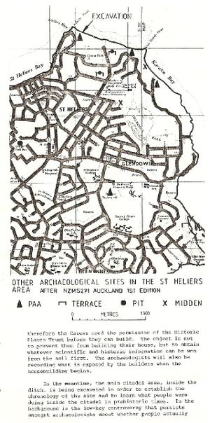
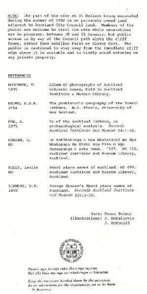
One of their Prehistory in Auckland brochures was issued about the excavation.
The work was subsequently reported:
Sewell, B. 1984 Archaeological Excavations at Te Pane O Horoiwi (N42/365) St Heliers, Auckland N Z Historic Places Trust Auckland unpublished report 1984/8.
